Home | About Us | Maps | Animal Facts
GAP Analysis Predicted Distribution Map
Home | About Us | Maps | Animal Facts
Species Code: OVCA
|
Habitat
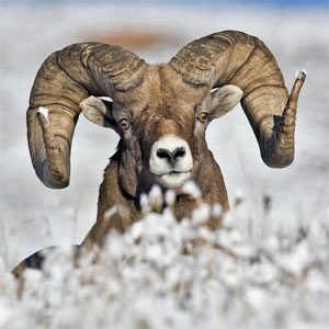
Bighorn Sheep are as dependent on topography as zone or vegetation cover. They are distributed spottily in discrete populations such as at Hall Mountain in the Selkirks; the Blue Mountains near Joseph Creek and the Wenaha-Tucannon Wilderness, Asotin Creek, Cottonwood Creek, and the Wooten Wildlife Area; Sinahekin Wildlife Area and Mount Hull in Okanogan County; Swakane Canyon and Colockum and L. T. Murray Wildlife Areas in Chelan and Kittitas Counties; Vulcan Mountain and Oak Creek Wildlife Area. They inhabit steep terrain, rocky slopes, ridges, cliffs, or canyons adjacent to grasslands or grass/shrub habitats. Their populations are affected by human disturbance and diseases carried by domestic sheep.
All zones within the known range limits were core areas. Good habitats were bare ground (except ice) and non-forested.
Translated from the Washington Gap Analysis Mammal Volume by Dave Lester
Design by Tim Knight

 = Core Habitat
 = Marginal Habitat