GAP Analysis Predicted Distribution Map
Ord's Kangaroo Rat (Dipodomys ordii)
Species Code: DIOR
|
Legend:
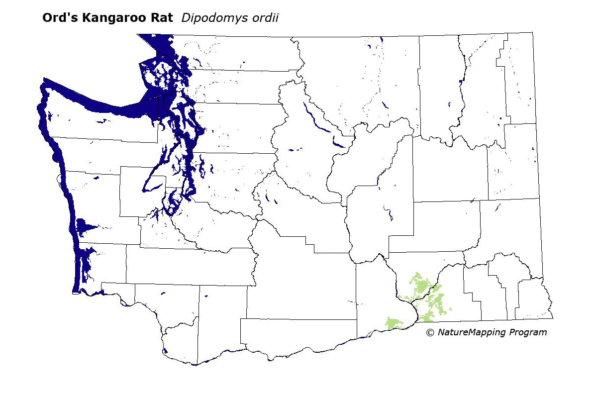
 = Core Habitat = Core Habitat
 = Marginal Habitat = Marginal Habitat
Breeding Range Map
The green area shows the predicted habitats for breeding only. The habitats were
identified using 1991 satellite imagery, other datasets and experts throughout the state, as part of the Washington Gap Analysis
Project.
Click to enlarge distribution map
Map with historical museum records
|
Metadata
(Data about data or how the map was made)
In Washington, restricted to Benton, Walla Walla, and Franklin Counties in areas with loose sandy soil. Habitat includes sand dunes where shrubs are low and widely spaced. Range limits were based on areas of extensive sandy soil in the three counties along with the known extent of the species.
The steppe zones that Ord's Kangaroo Rat inhabits in Washington were core areas, and all non-forested habitat was good.
Translated from the Washington Gap Analysis Mammal Volume by Dave Lester
Webpage designed by Dave Lester