Home | About Us | Maps | Animal Facts
GAP Analysis Predicted Distribution Map
Home | About Us | Maps | Animal Facts
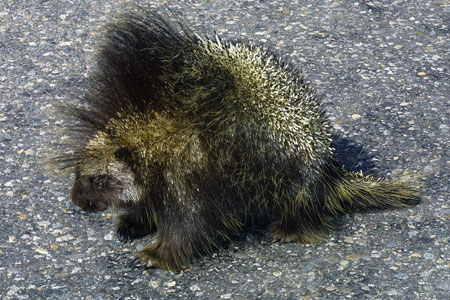
Species Code: ERDO
|
Habitat
Found from sea level to treeline, in the forested areas of every county except San Juan and Island. In the non-forested areas found along riparian corridors with trees or large shrub growth, including lush sagebrush. It needs trees or shrubs large enough to provide bark and cambium for winter feeding.
All forested and steppe zones are core except Alpine/Parkland. Good habitats in forested zones are water/wetlands, forest, shrub savanna, shrublands, and tree savanna. In the steppe zones, good habitats are water/wetlands and forests.
Translated from the Washington Gap Analysis Mammal Volume by Dave Lester
Design by Tim Knight; Photo: Nature Pics

 = Core Habitat
 = Marginal Habitat