GAP Analysis Predicted Distribution Map
Preble's Shrew (Sorex preblei)
Species Code: SOPR
|
Legend:
 = Core Habitat = Core Habitat
 = Marginal Habitat = Marginal Habitat
Breeding Range Map
The green area shows the predicted habitats for breeding only. The habitats were
identified using 1991 satellite imagery, other datasets and experts throughout the state, as part of the Washington Gap Analysis
Project.
Click to enlarge distribution map
Map with historical museum records
|
Metadata
(Data about data or how the map was made)
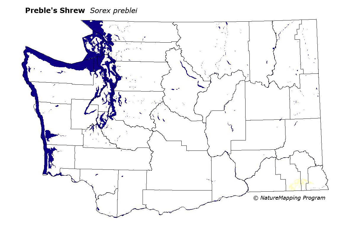
In Washington, Preble's Shrew is known only from the Blue Mountains. All specimens were found in a small area including Subalpine Fir/Lodgepole Pine, and Grand Fir/Englelmann Spruce forests between 5000 and 6000 feet. These are atypical of habitats where these shrews are found in other states.
It is peripheral in the Subalpine Fir zone, only in the Blue Mountains where closed coniferous forests provided good habitat.
It is believed that this species is at the very edge of its range in Washington State.
Translated from the Washington Gap Analysis Mammal Volume by Dave Lester
Webpage designed by Dave Lester