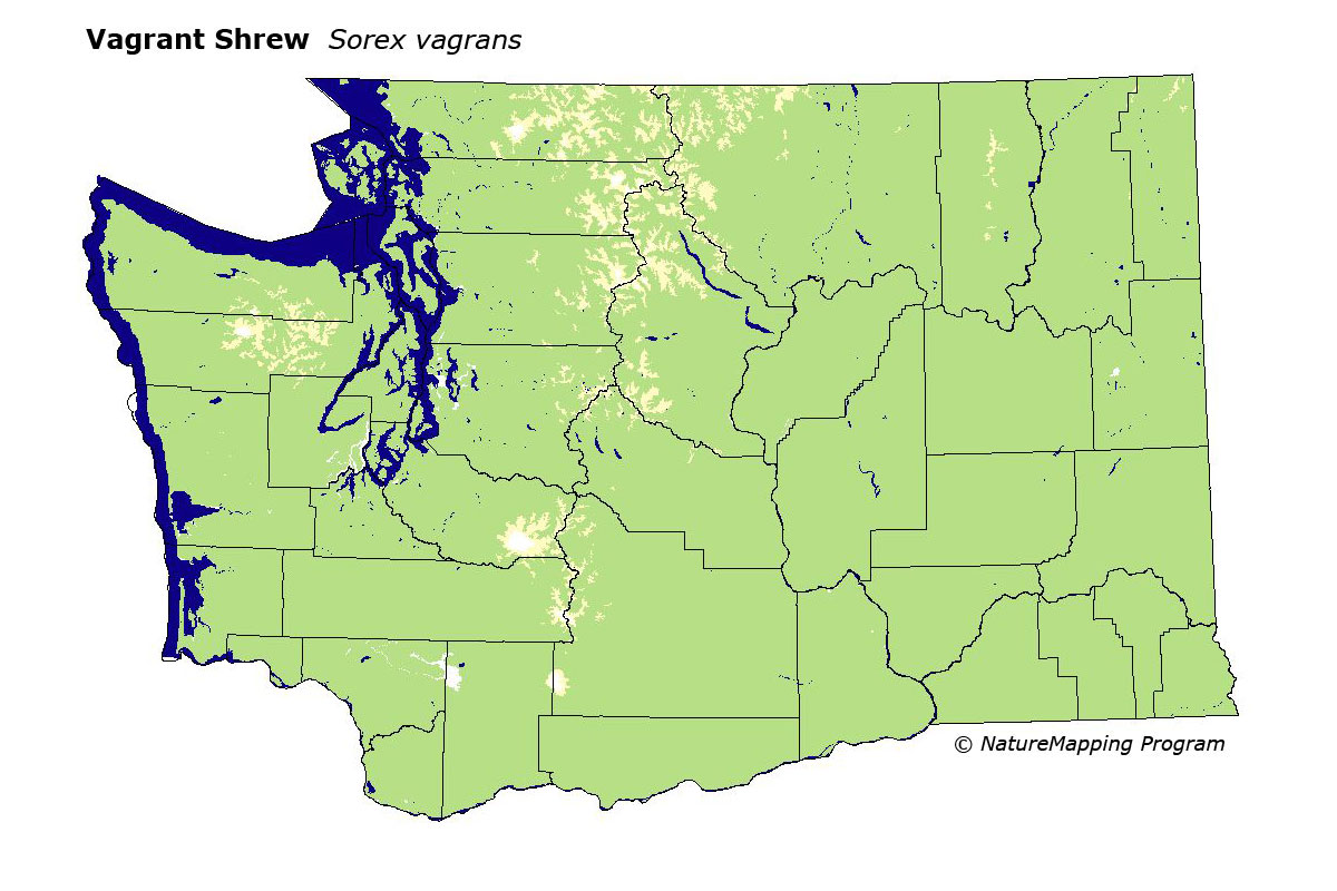
GAP Analysis Predicted Distribution Map
Vagrant Shrew (Sorex vagrans)
Species Code: SOVA
|
Legend:
 = Core Habitat = Core Habitat
 = Marginal Habitat = Marginal Habitat
Breeding Range Map
The green area shows the predicted habitats for breeding only. The habitats were
identified using 1991 satellite imagery, other datasets and experts throughout the state, as part of the Washington Gap Analysis
Project.
Click to enlarge distribution map
Map with historical museum records
|
Metadata
(Data about data or how the map was made)
The most widely distributed shrew in Washington State. The Vagrant Shrew is found from sea level to the upper edges of the
sub-alpine but not in true alpine. Usually near water (streams, marshes, wet meadows, etc.) or in damp places such as moist
forest floors. In forests in western Washington, it is more common in open areas and early seral stages of forest succession than
in closed canopy forest.
All zones were core except Alpine/Parkland, which was peripheral. Water/wetlands, except estuarine mudflats, were good habitats,
but since virtually all other habitats were likely to contain suitable sites (small wet areas), most other habitats were also good.
Translated from the Washington Gap Analysis Mammal Volume by Dave Lester
Webpage designed by Dave Lester