GAP Analysis Predicted Distribution Map
Virginia Opossum (Didelphis virginiana)
Species Code: DIVI
Non-native Species
|
Legend:
 = Core Habitat = Core Habitat
 = Marginal Habitat = Marginal Habitat
Breeding Range Map
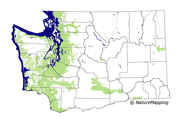
The green area shows the predicted habitats for breeding only. The habitats were
identified using 1991 satellite imagery, other datasets and experts throughout the state, as part of the Washington Gap Analysis
Project.
Click to enlarge distribution map
Map with historical museum records
|
Metadata
(Data about data or how the map was made)
The Virginia Opossum had entered Washington by 1941 by deliberate introduction from the eastern U.S, migration from introduced
populations in Oregon, or both. It is now common in the Puget Trough from the Columbia River to the Canadian border. It also occurs
along the entire coast. On the west side, it generally occurs below 1000 feet in broadleaf forests along streams and rivers and on
farmland. Its range expansion has been slower in eastern Washington. There, they seem to be associated with riparian areas, irrigated
agriculture, and development.
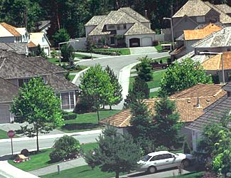
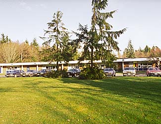
Core zones were the low to mid-elevation zones of the west side, the steppe zones, and Ponderosa Pine zone. In the forested zones,
good habitats were low- to medium-density development, agriculture, fresh waster/wetlands, hardwood forests, and non-forested.
The range limits of the Virginia Opossum have probably not stabilized, especially in eastern Washington.
Translated from the Washington Gap Analysis Mammal Volume by Dave Lester
Webpage designed by Dave Lester

 = Core Habitat
 = Marginal Habitat

