Home | About Us | Maps | Animal Facts
GAP Analysis Predicted Distribution Map
Home | About Us | Maps | Animal Facts
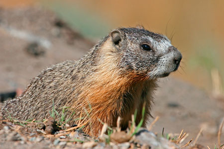
Species Code: MAFL
|
Habitat
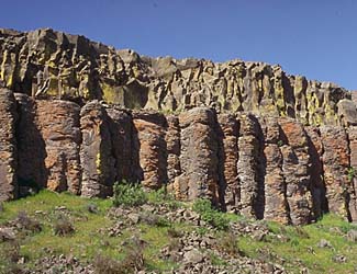
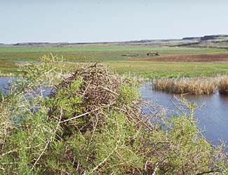
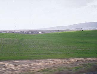
In Washington, this marmot is always at lower elevations, in more arid situations than the Hoary Marmot. It requires sufficient rocks for shelter and burrows and abundant herbaceous vegetation for food nearby. Found in the Upper Sonoran and, where dense forest is absent, the Transition zone. Shelter may be talus, rock, or boulder slides along river gorges and highways, rock outcrops in scabland, lava beds, rock-fills for railroads or highways, or rock foundations of abandoned buildings. Food includes garden plants and alfalfa fields. The Yellow-bellied Marmots ability to use cultivated food sources depends on the proximity of rocky shelter.
|
Core zones were all steppe, Oak, and Ponderosa Pine. In core zones, bare ground and non-forested habitats were good. Pastures, soil conservation reserve fields, and open conifer forests were adequate.
Translated from the Washington Gap Analysis Mammal Volume by Dave Lester
Design by Tim Knight; Photo: Nature Pics

 = Core Habitat
 = Marginal Habitat