WAGAP collected specimen records from museums throughout the United States. Some of these records dated back to the 1800's.
Whereas, the Adopt-a-Farmer Project collected 68 records in 3 months!
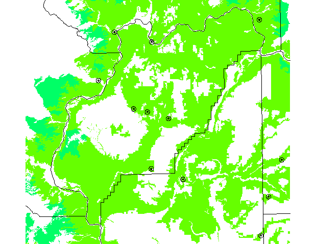
Collecting curent information will help WAGAP review and update its models to give a realistic picture of Short-horned lizard's habitat use and distribution.
Reference: Dvornich, K.M., K.R. McAllister, and K.B. Aubry. 1997. Amphibians and Reptiles of Washington State: Location data and predicted distributions. Volume 2 in Washington State Gap Analysis-Final Report, (K.M. Cassidy, C.E. Grue, M.R. Smith, and K.M. Dvornich, eds.), Washington Cooperative Fish and Wildlife Research Unit, University of Washington, Seattle. 146 pp.