NATUREMAPPING PROGRAMS IN ACTION
Examples of long-term projects
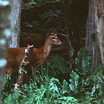
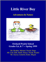 Little River Boy
-
One of the smallest school districts in the state has taken to NatureMapping in a
big way. Find out how Orchard Prairie School is
promoting biodiversity studies through citizens and school-based data
collection and research. Orchard Prairie 5-7th grade students have written a
book!
Little River Boy »
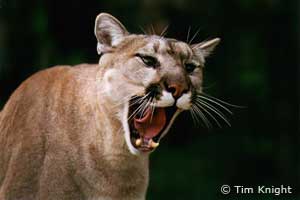
Project CAT (Cougars and Teaching)
-
Project CAT was designed to provide collaborative research on cougars in
rural and suburban settings to better understand cougar-human interactions over a 8-year time period. K-12 students, teachers and local community
members assisted researchers in this extensive study of regional cougar population. Almost all students had the opportunity to go into
the field and observe researchers collaring the cats.
Read more »
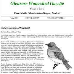 Glenrose Watershed Gazette
-
Chase Middle
School used a lot of NatureMapping data collection technology and GIS in their projects. Two hundred and seventy
8th grade students produced the Glenrose Watershed Gazette,
documenting their NatureMapping
experiences annually for years. Read the 2001 Edition (8MB pdf)
There are many ways to explain biodiversity. One of the best is the poem
written by Chase Middle School 8th grader Alyssa Jordan.
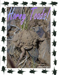 Adopt a Farmer Project
-
In 1997, Diane
Petersen's Waterville Elementary 4th graders created Adopt a Farmer Project that continues until 2014 to study the Short-horned lizard.
Cathi Nelson's 2nd graders assisted by conducting food
preferrence studies (e.g., catching different sized bugs to see what the
lizards eat). The Short-horned lizard is the most common lizard in the United
States (also known as the Horny toad) and its numbers are decreasing.
Scientists know very little about them, and the Waterville Short-horned lizard
task force of farmers and students took the lead to study this lizard.
Mule Deer Project
-
This was a 5-year study initiated by the Washington Department of Fish and Wildlife Ungulate Scientist and the West
Valley School District. NatureMapping's interest was to:
1. Identify the logistics in long-term, wide-ranging data
collection efforts (e.g., across the central and northeast part of Washington) with trained volunteers working with
middle and high school students.
2. Learn how to integrate research data collection efforts with NatureMapping data collection to build a
better picture of the mule deer habitat.
Read more »
Echo the Bat
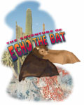
-
Do you want to learn about bats and
satellites? Echo the Bat is an
interactive program that first tells the story about Echo and asks the students
(grades 3-5) to track his journey to find his mother. There is an activity
section for students and teachers. NatureMapping is part of the
activities. This program was featured in Science (April, 99) as one of the best
programs to teach about remote sensing.
An introduction to NatureMapping is in
Lesson 2.
|
