Breeding Range Map
The green area shows the predicted habitats for breeding only.
© NatureMapping Program
+ enlarge map
Predicted breeding range
 = Core Habitat = Core Habitat
 = Marginal Habitat = Marginal Habitat
|
|
Fact Sheet:
Basic |
Advanced |
Español
Breeding Range Map
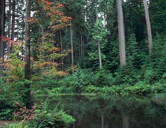
Reptiles do not migrate as some birds and mammals, so the colored areas depict the predicted range for the Short-horned Lizard year-round. The habitats were identified using 1991 satellite imagery, other datasets and experts throughout the state, as part of the Washington Gap Analysis Project.

Observations
|
Metadata
(Data about data or how the map was made)
Distribution and Habitat Requirements
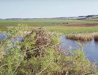
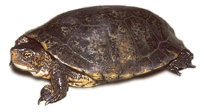
The Western pond turtle is known to inhabit marshes, sloughs, and slow-moving
portions of creeks and rivers (Nussbaum et al., 1983). The historic northernmost
range for this species in Washington State was the north shore of Lake Washington
(Slater, 1962), but there are no recent records from most of the lowlands
of western Washington.
Models
This turtle occurs in the Southwest and Southeast Cascades ecoregions and barely
into the Columbia Basin ecoregion along the Columbia River. The Canyon Grasslands,
Oak and Western Hemlock zones were core.
Good habitats were lakes, marshes, and riparian areas. Grassland, shrublands,
shrub and tree savannas were considered suitable if appropriate freshwater
microhabitats are available in the Canyon Grasslands and Oak zones.
Translated from the Washington Gap Analysis Amphibians and Reptiles Volume by Karen Dvornich
Webpage designed by Dave Lester.
|